Wokefield Common

Wokefield Common

Katie Smith

Wokefield Common

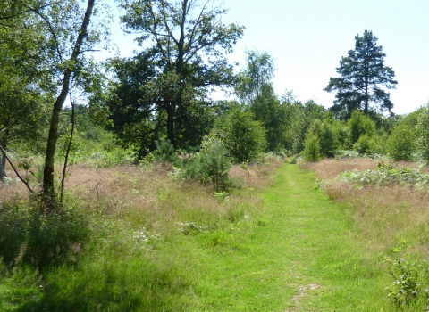
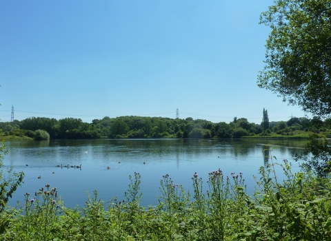
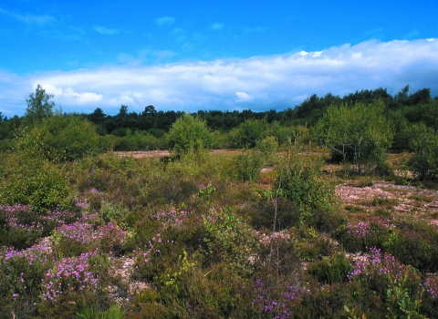
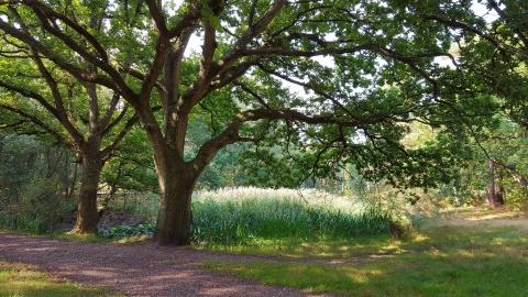
Wokefield Common is a tranquil site with a good network of paths that lead through tall pine and broadleaf woodland, past ponds, heather and rich wet gullies.

Location

0.5 mile south of Burghfield Common
Berkshire
RG7 3DR

OS Map Reference

SU 653 662

what3words: bind.cloud.year
A static map of Wokefield Common

Know before you go

Size
60 hectares
P

Parking information

There are two car parks. The main car park is off Goring Lane just west of the junction with Hollybush Lane (SU 653 662). There is also a small parking area at the end of Bunces Lane (SU 652 664).

Walking trails

There is an easy-access route approximately 0.8km long on flat terrain. The route is waymarked and shown on the orientation board adjacent to the main car park.

Access

Variable; main paths across the common are even and well-drained but minor paths crossing the wet gullies are steep, uneven and soft after rain.
The easy access route is suitable for people with limited mobility, ‘Tramper’ buggies, and those with pushchairs, however, please wear suitable footwear.

Dogs

Dogs permitted
i

Facilities

Accessible trails

When to visit

Opening times

Open at all times

Best time to visit

All year round

About the reserve

Dragonflies

The Dragonfly Pond and Pullen's Pond support a wide range of dragonflies and damselflies and are well worth a visit, particularly in the summer and early autumn. 

Heathland

Regular woodland thinning benefits the heathland by allowing the heather to spread. This encourages reptiles, butterflies and perhaps even a few woodlark.


Wokefield Common is managed by the Berks, Bucks and Oxon Wildlife Trust, on behalf of West Berkshire Council, alongside the landowner.

Contact us

Berks, Bucks & Oxon Wildlife Trust (BBOWT)
Contact number: 01635 35157
Contact email: info@bbowt.org.uk