
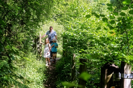
Woodland walk by Matthew Roberts
Wild Walks
Enjoy a Wild Walk through our beautiful counties.
All these circular routes take you through at least one BBOWT nature reserve as well as the surrounding countryside.
There is a leaflet for each walk that has full details of the route and information about the area and local wildlife. Download and print at home or save on your phone. We recommend you take an OS map with you too.
Note that some rights of way or local landmarks may have changed since these walks were created. Please contact us if you find any directions that need updating. Thank you.
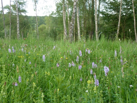
Warburg Nature Reserve by Kate Titford
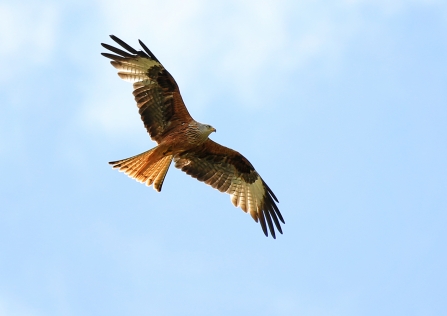
Red kite by Jon Hawkins/Surrey Hills photography
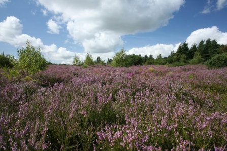
Wildmoor Heath by Andy Fairbairn
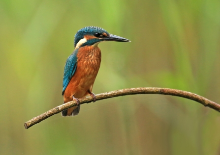
Kingfisher by Jon Hawkins - Surrey Hills Photography
Foxholes nature reserve by Andy Fairbairn
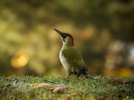
Green woodpecker by Jo Angell
Walks in Berkshire

Red kite by Jon Hawkins/Surrey Hills photography
Inkpen Wild Walk
This 17km circular walk includes ancient heathland, woods and downs, and spectacular views. Starting in Kintbury, it takes in Inkpen Common and Inkpen Crocus Field nature reserves. There is a shorter 10km route that starts at Inkpen Common. OS Explorer Map 158, 1:25,000 scale, covers the route.
Download the route
- Inkpen Wild Walk (595.46 KB)

Wildmoor Heath by Andy Fairbairn
Sandhurst Wild Walk
This gentle 9km circular walk passes through heathland, pasture and forest. Starting in Sandhurst, it takes in Wildmoor Heath nature reserve and part of Crowthorne Wood. OS Explorer Map 160, 1:25,000 scale, covers the route.
Download the route
- Sandhurst Wild Walk (519.14 KB)

Greenham Common by Adrian Wallington
West Berks Walk One
Enjoy varied wetland wildlife, ancient woods and rare heathland. Starting in Thatcham, this 6-mile circular walk takes in Bowdown Woods nature reserve. Ordnance Survey Explorer Map 158 1:25,000 scale, covers the route.
Download the route
- Living Landscape Wild Walk One (803.18 KB)

Kingfisher by Margaret Holland
West Berks Walk Two
Walk along the River Enborne, through woodland and pastures. Starting at Thatcham railway station, this 6-mile circular walk takes in part of of Greenham and Crookham Commons. Ordnance Survey Explorer Map 158 1:25,000 scale, covers the route.
Download the route
- Living Landscape Wild Walk Two (832.48 KB)
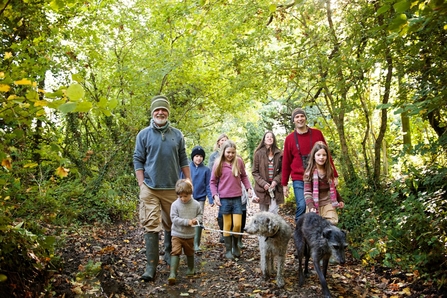
Walks in Buckinghamshire

Dancersend by Mick Jones
Tring Park Wild Walk
Enjoy scenic views, wooded valleys and ancient parkland on this 10km circular walk through the Chilterns. Starting in Tring, the walk takes in Dancersend nature reserve and the Ridgeway National Trail. OS Explorer Map 181, 1:25,000 scale, covers the route.
Download the route
- Tring Park Wild Walk (587.09 KB)

Tufted ducks by Margaret Holland
Tring Reservoirs Wild Walk
Stroll along the waterside and look for waterbirds on this gentle 13km walk. Starting at Tring railway station, it takes in College Lake nature reserve, a section of the Grand Union Canal and three reservoirs. OS Explorer Map 181, 1:25,000 scale, covers the route.
Download the route
- Tring Reservoirs Wild Walk (798.26 KB)
Walks in Oxfordshire

Reed bunting by Amy Lewis
Cothill Wild Walk
Explore Cothill Fen, the most diverse wildlife area in Oxfordshire. Starting in Wootton, this 5 km circular walk takes in three nature reserves: Dry Sandford Pit, Parsonage Moor and Lashford Lane Fen.
Download the route
- Cothill Wild Walk (1.64 MB)

Foxholes nature reserve by Andy Fairbairn
Foxholes Wild Walk
Stroll through rolling countryside, woodland and quiet villages on this 11km circular walk. Starting in Shipton-under-Wychwood, it takes in ancient woodland at Foxholes nature reserve. OS Explorer Map OL45, 1:25,000 scale, covers the route.
Download the route
- Foxholes Wild Walk (531.04 KB)

Hartslock nature reserve by Laura Parker
Goring Wild Walk
Enjoy magnificent views of the River Thames and rare chalk grassland species on this 8km circular walk. Starting in Goring, it takes in Hartslock nature reserve and a section of the Thames Path National Trail. OS Explorer Map 171, 1:25,000 scale, covers the route.
Download the route
- Goring Wild Walk (569.03 KB)

Warburg Nature Reserve by Kate Titford
Henley Wild Walk
This varied 21km circular walk through the Chilterns takes in parkland, farmland and woodland. Starting in Henley, it includes Warburg Nature Reserve. There is a shorter 8km section that can start from the reserve or Nettlebed. OS Explorer Map 171, 1:25,000 scale, covers the route.
Download the route
- Henley Wild Walk (645.91 KB)
Stay up-to-date with our work
Sign up below to receive the latest news from BBOWT, tips about how you can help wildlife, plus information on how you can get involved.

College Lake by Claire Williams
Visit a nature reserve near you
Find out more
Teen Rangers birdwatching by Jon Hawkins.
Events for all ages
See what's on
Wild Writing by Nicola Chester